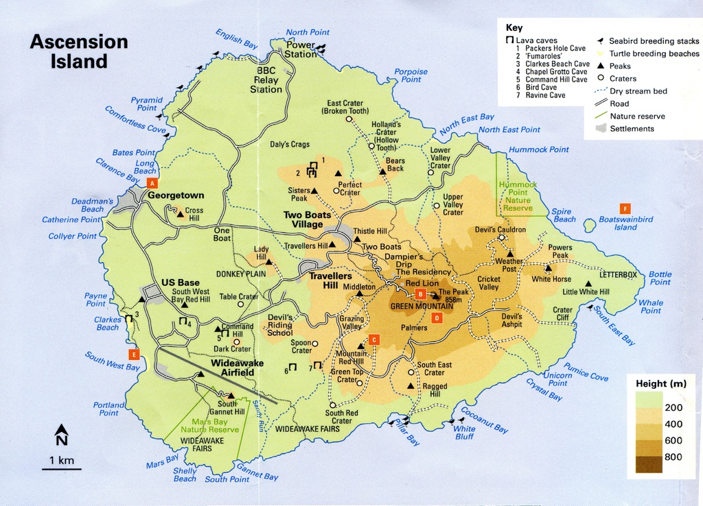
Ascension Island Map
We sailed to Ascension Island one day early because we were going to divert from the West Africa Coasts of The Gambia and Senegal due to the Ebola epidemic that was spreading in those two countries.
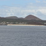
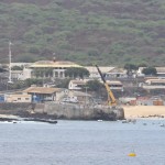
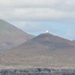
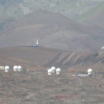
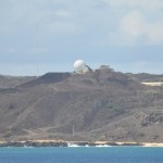
The island was discovered in the 1501, not inhabited until the British used it as an outpost while Napoleon was exiled on St Helena. The US built a runway on the island during WW II as a staging area for the African campaign. Then in 1982, the UK used it as a staging area during the Falkland war. It was also a NASA tracking station facility during the Apollo space flights in the mid 60’s.
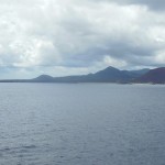
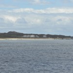
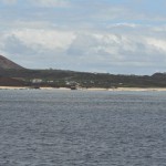
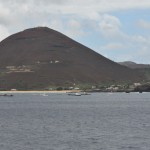
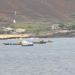
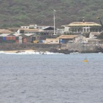
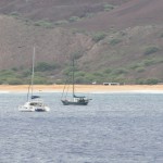
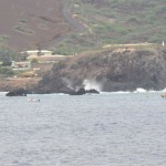
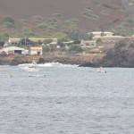
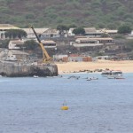
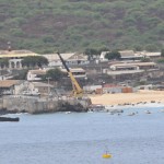
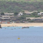
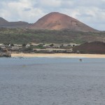
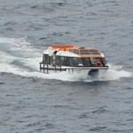
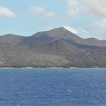
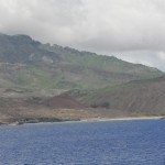
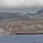
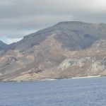
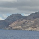
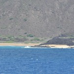
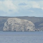
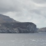
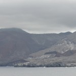
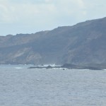
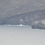
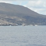
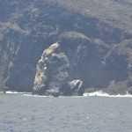
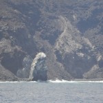
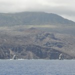
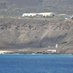
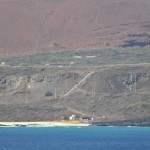
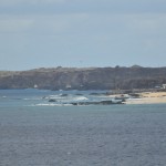
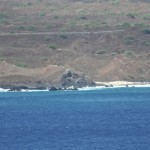
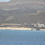
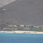
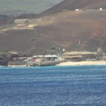
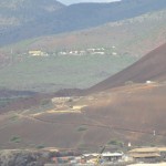
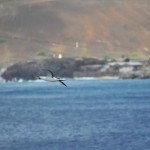
When we arrived outside the port of Georgetown, the sea state was to high for a safe disembarkation by tender. A boat from the island came on board the ship to display the island’s goods. The islanders sold souvenir shirts and hats along with books about the island. They also sold stamps and postcards. While the vendors were selling their wares, the ship circumnavigated the island. We were able to see the whole island off shore. At 5:30 PM we had our Sailaway Party as we departed Ascension Island. The next day the ship would have the King Neptune Celebration as we crossed the Equator and entered the North Atlantic for Cape Verde.
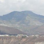
Sailing around Ascension Island